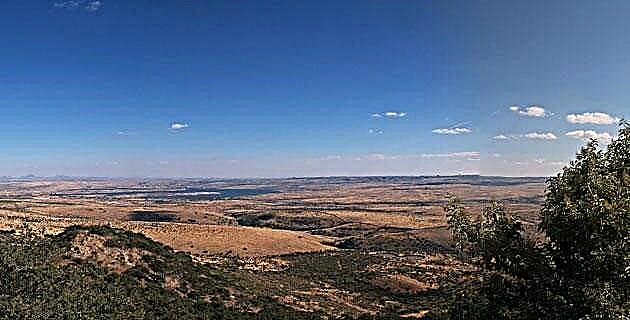
A sea often rough by winds from the north and south, a source of human sustenance and an extensive reserve of natural resources. There is still much unknown.
With the words: ‘Gulf of Mexico’ the geography of the New World began to be written, a story that is still far from being concluded. There are still millions of Mexicans who have never seen the immense maritime horizon between the Florida and Yucatan peninsulas, and there are hundreds of missing kilometers of roads that link our coastal territories.
From the mouth of the Rio Grande, in the north, to Campeche, the Mexican portion of the Gulf measures 2,000 kilometers more or less (there is no marker that delimits the Gulf and the Caribbean), according to Carlos Rangel Plasencia, a collaborator from unknown Mexico who calculated the distance following the entire contour of the coast.
He made this journey, from south to north, aboard a kayak, being the first trip of this kind in our maritime history. His motive, in addition to the spirit of adventure, was to gain first-hand knowledge of many coastal areas that most Mexicans ignore.
Since geography and history are always intertwined, it is irresistible to mention that at the mouth of the Bravo, a handful of Persian merchants founded a small port around 1850, baptized as Baghdad, which would become almost a city (6,000 inhabitants) thanks to the intense movement commercial sparked by the civil war in the United States. The reestablishment of peace in the neighboring country, coupled with major storms and floods of the Bravo, caused the population to decline until its virtual disappearance, being finally buried under the dunes of the place. That beach, today called Lauro Villar, is the northernmost point of Mexico in our Gulf.
To the south…
A large body of water stands out: the Laguna Madre, the longest in the country (220 kilometers). It is separated from the sea by a chain of dunes and sandy bars, a kind of natural dam that allows a remarkable abundance of fishing. In some areas of shallow depth and very high evaporation, the phenomenon of water denser than that of the Dead Sea occurs. The population is reduced to the existence of canopies, awnings and cabins of a few hundred fishermen.
Each mouth of a river or stream creates its own highly complex biotic, fauna-vegetation system, from crustaceans, fish and reptiles, to birds and mammals. All this occurs in those topographic features called, depending on the case, estuaries, bars, wetlands, swamps, dunes, estuaries, marshes, mangroves and jungle massifs. The entire Tamaulipas coast contains examples of these ecological manifestations.
For Veracruz ...
For many years, the door to Europe has not had great changes over the centuries. It exhibits extensive savannahs, and also has a large lagoon in the north: Tamiahua, 80 kilometers long and several small islands, except Cabo Rojo, desert and uninhabited.
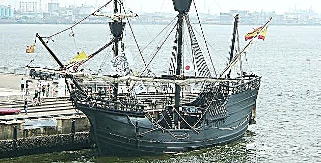
Before reaching the city and port of Veracruz are the beaches of Villa Rica, where Hernán Cortés had his ships sunk (not burned) to discourage those who thought about deserting. In front of the place rise the hills of Quiahuiztlan, from whose summit the Aztec tlahuilos painted the images of the "floating houses" that Moctezuma received daily in Tenochtitlan.
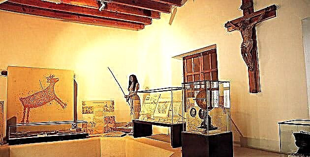
The port of Veracruz is one of the only two points in the Gulf that saw its appearance transformed -the other is Campeche-, due to the fortification works. Inland, about 4 kilometers away, lies the first underwater national park, that of the Veracruz Reef System (SAV, of which we speak our last issue), related to the lowlands of La Blanquilla and La Anegada, and the islands of Sacrificios and Isla Green.
Bordering the long beaches, a chain of sandy dunes makes us reflect on the fact that we are at the same latitude, 25 degrees north, as Egypt and the Sahara desert.
The great coastal plain is cut by the bed of the Alvarado River and its huge lagoon (grouping of eight lagoons) can be navigated by boat with an outboard motor to Oaxacan lands.
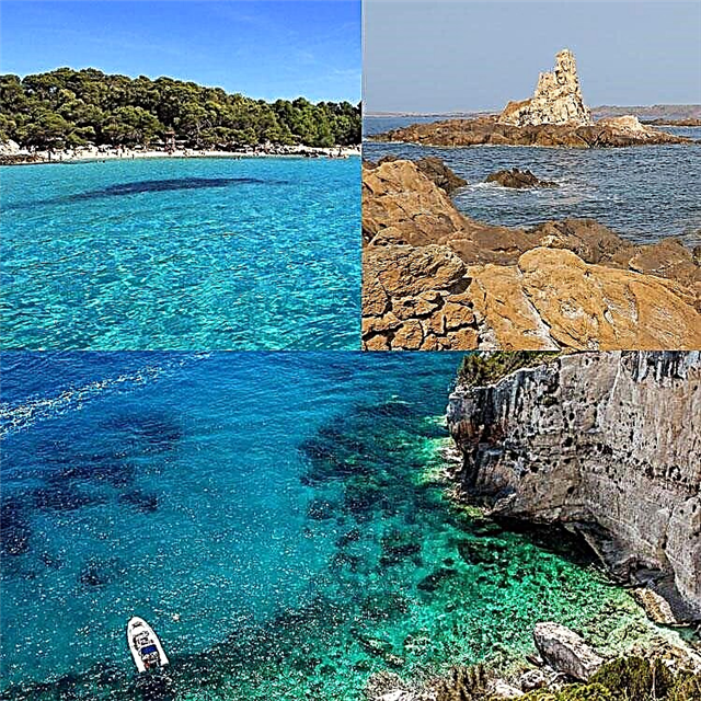
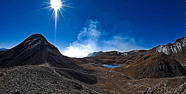
Further south, the mountains seem to rush towards the sea and it is populated by crags, cliffs and reefs like those of Montepío, where two rivers drain between dense mangroves in the Sontecomapan area. In this area there is the most beautiful beach from Florida to Yucatan. It is simply called Playa Escondida and its horseshoe shape has the rare adornment of a cliff lined with green by vegetation. Continuing south, another lagoon stands out, that of Catemaco, within a large volcanic bowl.
The complex Sierra de los Tuxtlas continues facing its wooded greenery in front of the coast until just before the mighty Coatzacoalcos, and the plains return to the natural border with Tabasco, the Tonalá River, near whose eastern bank are the vestiges of the pre-Hispanic La Venta, where the monumental sculptures that now embellish Villahermosa were created.
Intact geography
Shortly after, from Sánchez Magallanes, the coast takes on the appearance of a continuous lagoon system where the tropics imposes the multiple variants of dense vegetation. The Tajonal, La Machona and Mecoacán lagoons appear, among others, all of them true liquid universes where dirt roads require, in the absence of bridges, pangas or chalanas for the crossing of people and vehicles. It is another dimension of the oldest and most intact geography.
After crossing the San Pedro river, which originates in Guatemala, the coastline is once again flat and sandy with little shrub vegetation.
Little by little, at first imperceptibly, the sea takes on another hue, going from blue-green to jade-green, and this is how it is seen at the mouth of the Laguna de Terminos, the largest hydrological basin in the country, 705,000 hectares, and for three years the largest protected natural area in Mexico. Together with the neighboring Tabasco wetlands of Centla, it is the largest catcher of migratory birds in the northern hemisphere. This is jungle and water at its best, fresh, brackish and salty water for the proliferation of many different species of fish and crustaceans and mollusks… and infinite animal forms. The water also comes from the Candelaria River, which, like the San Pedro, originates in Guatemala, and from many other faithful sources.
80 kilometers from east to west, 40 from south to north, but more than in kilometers, Terms must be measured in its formidable ability to survive against the implacable human siege.
Pirate waters and reserves
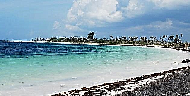
Ciudad del Carmen sits on the estuary of the river and lagoon, on the island of Carmen, which for 179 years was a virtual possession of English smugglers and pirates. They called it Trix and also the Isle of Trix, until the Spanish government expelled them in 1777. Seen from the sea, the island appears like a garden of tall palm trees peeking out between the houses. It is currently connected to the mainland by the two longest bridges in the country: the Solidaridad and the Unidad, 3,222 meters long.
The landscape of languid palm trees leaning over the sea continues to the extended wetlands or swamps of El Cuyo, which originate the Los Petenes Biosphere Reserve, and, kilometers ahead, the Ría Celestún Biosphere Reserve. The term "estuary", little used, refers to a sea inlet with a sinuous course like that of a river.
Further on, the sea is definitely green and the words Caribbean Sea appear on the maps. As we said, there is no dividing line, obviously, we believe that this is where the national portion of the Gulf of Mexico ends.