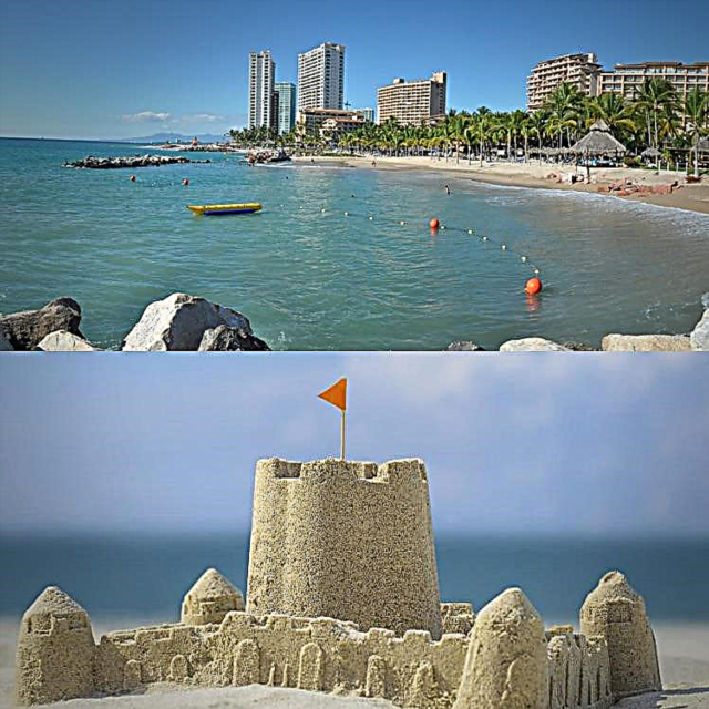
South of Puerto Vallarta, on Highway 200, you climb the mountain populated with pine trees and a cool climate, then descending to the warm plain where the Chamela Bay opens.
This is protected by its 13 kilometers of beach, cliffs, cliffs and nine islands; from north to south: Pasavera (or “Aviary”, renamed by the natives, because in February and March it is covered almost entirely with nests, which when they are born can be heard until the mainland), Novilla, Colorada, Cocina, Esfinge, San Pedro, San Agustín, San Andrés y la Negrita.
Divided into two sections by the federal highway from Barra de Navidad-Puerto Vallarta, this reserve is located on the coast of Jalisco, municipality of La Huerta, on the banks of the Cuitzmala River (the river with the highest flow in the region).
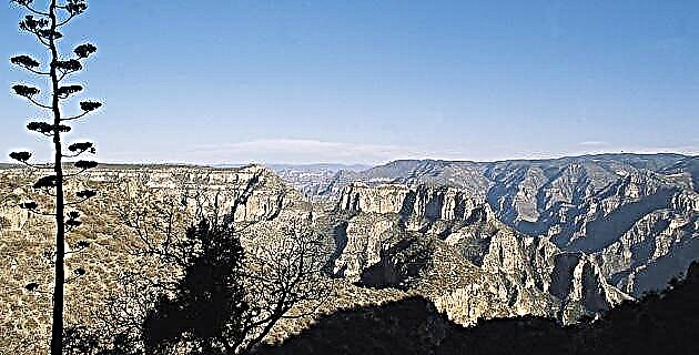
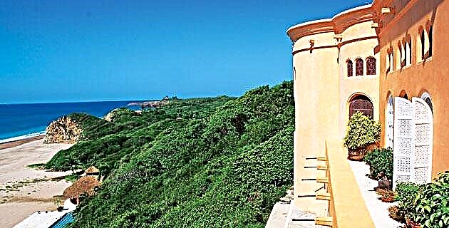
Section I, which is called Chamela, is located to the east of the highway, while section II, located to the west, is called Cuitzmala, occupying a total area of 13,142 hectares. It is a predominantly mountainous area, with a relief dominated by hills, while on the coast there are rocky cliffs with small sandy beaches.
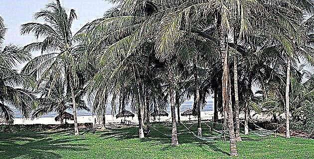
With a tropical climate, the Chamela-Cuixmala reserve, which was decreed on December 30, 1993, contains the only extension of low deciduous forest in the Mexican Pacific, as well as medium forest, wetlands and scrublands in restricted areas near the sea.
In the reserve the cuachalalate, the iguanero, the white and red mangrove are distributed, as well as the male cedar, the ramón and the coquito palm. Its fauna is very diverse, inhabits the peccary, pure, jaguar, white-tailed deer, iguana, storks, herons and sea turtles.
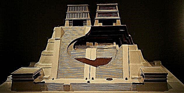
In the vicinity of the Cuitzmala River, Chamela and the San Nicolás River, you can see areas of archaeological remains of pre-Hispanic origin and probably native indigenous groups.
IT IS SAID THAT…
As a result of a shipwreck, its discoverer, Francisco de Cortés, died in the Bay of Chamela. His companions, who managed to reach the beach, perished pierced by the accurate arrows of the natives. Chamela became an anchorage for the Nao de China and, like Barra de Navidad, was displaced by the ports of Acapulco and Manzanillo.
In 1573, the pirate Francis Drake unsuccessfully attacked the Spanish garrison at Chamela and in 1587, another pirate, Tomás Cavendish, tried to destroy the point of Chamela with two ships and a felucca.
In this place there was also the hacienda of the same name, where a few years before the Revolution Porfirio Díaz used to spend the summer.
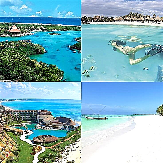
CHAMELA BRINDA
New and seductive landscapes; the channels, shallows and beaches on its islands are a new scenic treasure. In its transparent waters the animal world easily visible from the shores parades. The comforts according to the needs of the visitors, who find first and second class hotels, or rustic cabins with sand floors and palm roofs.
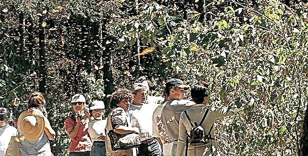
In the area those activities oriented to the investigation, protection and conservation of ecosystems are allowed. It has a research station. All services are located in Barra de Navidad, Jalisco or in Manzanillo, Colima.
Starting from Manzanillo, 120 km north on federal highway number 200 (Barra de Navidad-Puerto Vallarta), you will find the area of this reserve on both sides.
RECOMMENDATIONS
The best season to travel to this place is in the winter and spring. Although the islands are visible from the mainland and seem easily reachable by boat, there are strong currents that can cause problems; It is advisable to check with local fishermen about the best times for the crossing.
HOW TO GET
On the highway that goes from Guadalajara to Puerto Vallarta and from there to the south by highway number 200. You can also enter from Colima to Manzanillo, following the entire coast to Barra de Navidad, or directly from Guadalajara, through Autlán.