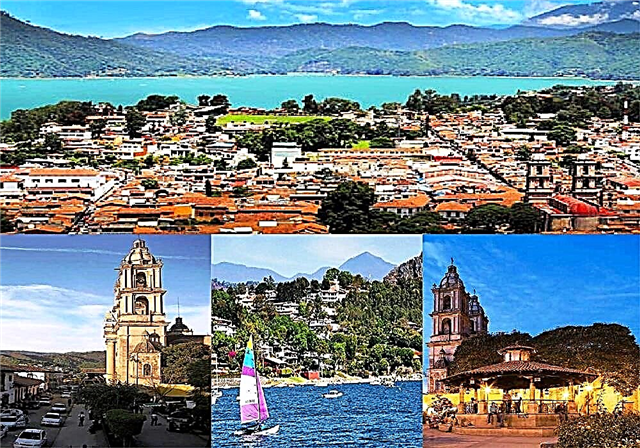
This route is one of the shortest but no less representative of Mexico, it is a different route in which you will live with one of the most phenomenal creations of man: the dams.
From Valle de Bravo you can start the journey through one of the most attractive parts of the Miguel Alemán hydroelectric system, following the state highway that heads west. In the first place there is the curtain of the Valle dam itself, then comes the Tilostoc dam, and a little further on the town of Colorines, full of flowers, next to the dam of the same name.
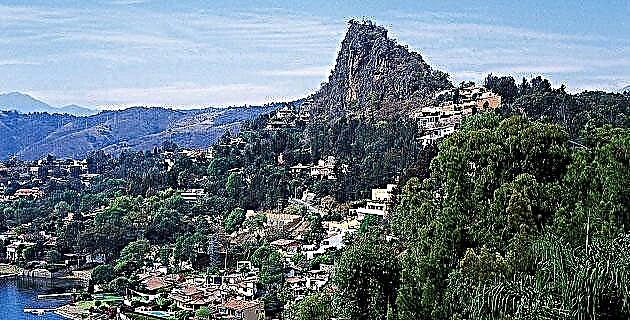
As the road goes downhill, the ambient temperature increases and the vegetation becomes more tropical. Further on is the Ixtapantongo dam, which was the first in the system. Finally, about 30 kilometers from the Valley, you reach Nuevo Santo Tomás de los Plátanos, established in the place of the original town that was flooded by the waters of the adjacent dam.
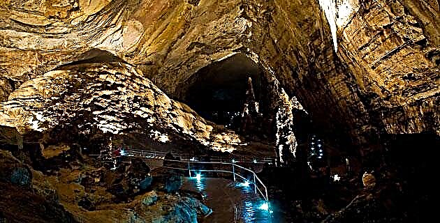
In fact, one of the hallmarks of the place is the bell tower of the old church that protrudes from the surface of the dam. In the vicinity of the town there are sites with rock art that provide a good excuse to go for a walk.
Tips
The journey does not take more than three hours, however, it must be taken into account that there are no gas stations from Colorines to Santo Tomás de los Plátanos.
If you are interested in learning more about the dams in the State of Mexico, you can visit the Brockman Dam, located in the middle of a dense pine and oak forest, and where you can take boat rides, fish for trout, bass or carp. In the forest you can also go on walks and picnics. It is located 5 km southwest of El Oro by state highway s / n.