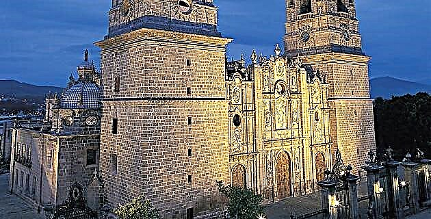
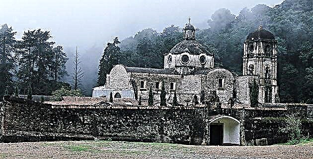
Located in the west-central zone of the state of Nuevo León, adjacent to Coahuila, the Cumbres de Monterrey National Park was declared a protected area by presidential decree on November 24, 1939; Its 246,500 hectares make it the largest in Mexico.
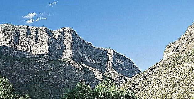
The name of Cumbres owes it to the splendid mountain formations of the Sierra Madre Oriental in this region, which are home to lush oak forests and a varied flora and fauna; It is a hot area in the summer, but with frequent snowfalls in the winter. Due to its topography and biological characteristics, it is an ideal site for mountaineering, camping, caving, bird watching and natural resource studies.
One of the most recent routes is the long La Esmeralda Canyon, which, compared to others, demands an excellent physical condition from the explorer, since unlike those of Matacanes and Hidrofobia it runs during the dry season, so it is possible imagine the intense heat, another factor of weight to face the journey. Given these characteristics, it is estimated that an average group of walkers will take about 12 hours to exit the canyon.
It is curious how along a good section of the route they are found rusted fixed by a pioneering expedition ten years ago. It is believed that that group entered and left the canyon by another route, since the evidence of their passage disappears as the route progresses.
THE JOURNEY OF EXPLORATION
Opening a new route has its complications and La Esmeralda was no exception. On their first descent, the professional guide Mauricio Garza and his team had a difficult time inside the canyon. -You don't know what to expect, you've never been there…, he commented while preparing his equipment, if your ropes don't arrive, you're in trouble and there's no going back, he concluded just as he packed them.
Ours would be the second reconnaissance expedition, and according to Mauricio, less problematic than the previous one. Then, I was about to ask him - Are you sure you have “all” the rope meters?
Shortly after the march began, the weather suddenly changed. A light drizzle, the guides explained, can dramatically change the conditions of the descent, especially since it is an area with a lot of mist, where visibility is very limited when it rains.
They narrated how in the initial trip, totally soaked, they advanced slowly through the crevices of the canyon- -Sometimes we did not see anything, it was like walking blind, so we threw rocks to calculate the height of the rappel, although it was impossible to know where the rappel ended. precipice.
Twelve hours later, the guides had given up hope of finding their way out before nightfall; Without many options to decide, they set about building a good shelter among the rocks to shelter from the cold of the mountains.
Due to the darkness they could not see that they were about to leave the canyon, but at dawn the countless obstacles of that descent ended. A couple of hours later they called their relatives to let them know that everyone was safe.
Gustavo Casas, another experienced guide explained that to make the first exploration trip you need much more than a good team, because in situations like this, in which many things may not go as planned, one hundred percent depends on the experience of each of the team members.
WALKING THE ESMERALDA
The journey began with a long and steep ascent of an hour and a half starting from the Jonuco country area to reach the top of Puerto de Oyameles, where the path that goes down to the mouth of the canyon finally begins. This first section is unforgiving and only those in excellent physical condition overcome it without setbacks.
The descent might seem easier, but going down this path also offers some difficulties. The route winds through the dense undergrowth of the forest and finds some forks in the main ravine on its way, so that someone who does not know the place well could end up lost in the mountains. After dodging thousands of branches, rocks and fallen trunks, the first rappel is reached, known as La Cascadita, and although it is only five meters high, once you have reached the bottom there is no going back. Whoever gets here has the only option to overcome all the obstacles in La Esmeralda Canyon.
20 minutes away, La Noria appears, a second ten-meter rappel that engulfs us like a great snake in the depths of the earth.
Ironically, the next drop, 20m, is nicknamed "I want to go back", because according to the guides, at this point most hikers wonder what they are doing there.
Once the first moment of crisis has been overcome, the journey continues with a 40-minute walk to the next rappel, where there is no time even for regret, as we are facing a chilling 50 m drop, in the second “official moment” of collective crisis . After a short rest, the route continues through a ravine that descends to a series of medium-height rappels between 10 and 15 m, called Expansor and La Grieta, which precede another complicated series of falls.
The “triple V with turn” is an angled descent that requires a lot of force to counteract the friction of the ropes against the corner rock, otherwise one could end up stuck more than 30 m from the base. The total fall is 45 m, but only the first 15 m offer a free fall, as there the rock turns abruptly to the left offering great resistance to the movement of the rope.
Another 40 minute walk leads to the first of two platelets on the trail. The first, of four meters, offers few complications, but the second, of more than 20 m, is undoubtedly the most intimidating descent of the route, although to reach it there are still three more descents to be made, El Charco, of 15 m , Del Buzo, 30 m and La Palma, 10 m high.
Platelets are formed by an endless drip, something like what happens with stalactites and stalagmites in caves. Its formation is cylindrical, so that the descent is similar to that of a tree, although much more spectacular.
Going down on these platelets requires a lot of concentration, because if you fully support your weight it can cause a detachment of this delicate rock formation, which could damage the rope or injure a colleague who is waiting below.
After overcoming this creepy descent - I must accept that this platelet really made me feel vertigo - we continued towards the deepest part of the canyon to close with the last two rappels, La Palmita 2, of five meters, and Ya no more than 50 m, although after descending the latter there is still another rappel of 70 m, which for various reasons has not yet been confirmed for the route.
This cliff will be optional for groups that maintain a good pace throughout the tour, which will allow them to get there at a good time to descend with ropes, otherwise they will be forced to walk along the path that leads to the end of the canyon.
After assessing all the risks and difficulties they had to face on their first descent through La Esmeralda, Mauricio Garza is sure that this canyon will soon become a very popular route for the most daring adventurers in the country.