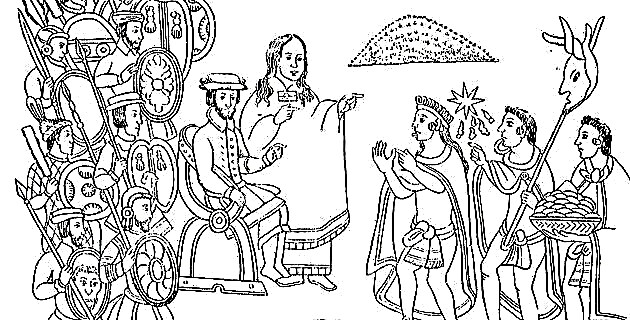
A publishing genre that we could describe as essential today and without which we could not have fun is that of the traveler's guide, whose origin in Mexico dates back to the end of the 18th century, when expeditions in which people arrived began to multiply from all over, not only attracted by the wealth of New Spain, but also interested in the pre-Hispanic cultures and antiquities disseminated by the press among the intellectuals of the country and Europeans.
Such an influx of visitors led to the publication of the then outsider guides accompanied by their corresponding plans -especially of the capital city-, the first of which was part of the World Calendar and guide of outsiders in Mexico, of the years 1793 and 1794, made by Mariano Zúñiga y Ontiveros. These plans showed the streets of the center with their squares, the main buildings, both public and religious, the communication routes, and sometimes commercial establishments, hotels, banks, clubs and restaurants were marked.
AND THE COMMERCIALIZATION BEGAN
However, it was at the beginning of the 19th century when some lithographic and later typographic companies reproduced the plans for sale to the public, which acquired an annual character, since the transformations of the previous year were included; Hence, in many of them the appearance is similar and the modifications and additions of some details are hardly perceived.
Similarly, during the 19th and early 20th centuries, some lithographs of panoramic views of the city were reproduced for sale, to the point that some commercial houses gave them away as advertising.
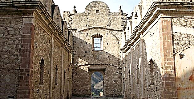
The founding of the federation of the states of independent Mexico took place on January 31, 1824 and in the same year Mexico City was declared the residence of the Supreme Powers. The Federal District was also created, whose graphic representation led to the lifting of several plans that show the changes it was facing.
From 1830 it is an enlarged map and also corrected by Rafael María Calvo, which despite being a copy of the one made in 1793 by Diego García Conde, shows certain characteristic changes of the capital of independent Mexico. It details the peripheral areas, the disappearance of the statue of Carlos IV from the Plaza Mayor, the Baratillo market is included. The city shows the moat built around it during the war of independence, as well as two roundabouts being added to the boulevard of Bucareli.
MORE ELABORATED
As of 1858, with the title of General Plan of Mexico City and an anonymous author, trees were added to the roads, while in the Plaza Mayor appears the zócalo of the Monument to Independence - which was to be built by the government. of Santa Anna and it was not carried out-. This plan differs in some details, such as the order of the lists and the marshy lands to the west of La Ciudadela, in addition to several constructions that do not appear in the Almonte one.
Since then, the quantity and quality of the guides for travelers in Mexico are testimonies of the development of a country and of a capital city in permanent urban transformation, as a sign of the social and technological advance that characterizes one of the most modern metropolises. of the western hemisphere.