Walkers know that the state of Chiapas is an inexhaustible source of attractions for those who seek the purity of the landscape, the traces of history and the unmistakable stamp of hospitality. Mosaic of water and jungle, of pine mountains and beaches with mangroves.
Land of millenary celebrations and expression of ancestral cultures. It is difficult to pass through its territory and not return, as there are always surprises to discover and encounters to carry out.
Beyond Agua Azul and Palenque, the Cañón del Sumidero or San Cristóbal de las Casas, Chiapas is a tourist letter that has never been written, only the almanac of its festivals points to 300 different destinations, almost one per day, And what about its multiple banks, its archaeological routes, its peaks and chasms, to travel and explore a lifetime.
The soil of Chiapas is woven by six geographical regions, united under the same entity but with different physical characteristics. Each region is like a separate state, inhabited by different peoples.
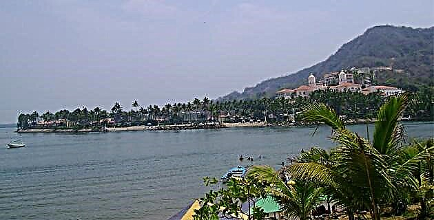
Thus, we can begin with the coastal plain, there next to the Pacific Ocean, with 303 km of extensive open sea beaches, estuaries and mangrove channels next to places of great beauty such as Boca del Cielo, Barra Zacapulco, Playa Azul and Puerto Arista, to mention some of the destinations known to the locals.
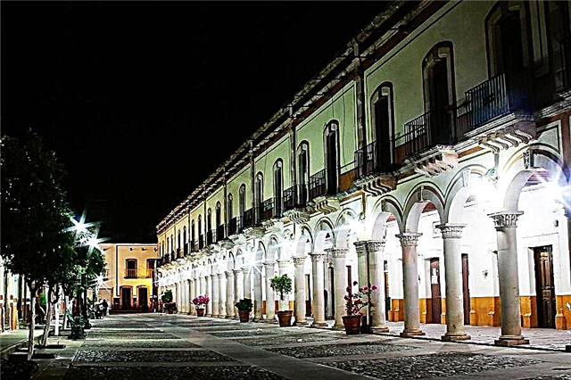
On the coast there are also interesting towns such as Huhuetán, the “old town”; Tuxtla Chico, picturesque town, seat of the controversial “Jalada de Patos”, a popular event that mixes cavalry with the ritual sacrifice of these birds, and the beautiful coastal capital, Tapachula, where Mexico and Central America come together.
In the Sierra Madre, the Tacaná, “the lighthouse of the South”, with more than 4,000 meters above sea level, governs. At its feet is Unión Juárez surrounded by coffee farms, of which Santo Domingo stands out, now open and accessible for those who want to know the history of coffee growing in Chiapas. The entire Sierra is rich in waterfalls and nature reserves, although there are also towns with a very pleasant climate such as Motozintla or El Porvenir, where frost freezes the streams.
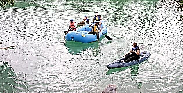
In the region of the central depression, the land of the mighty Grijalva river, there are numerous tributaries of crystalline waters and on its banks rise towns rich in history and traditions such as Acala, Tecpatán, Copainalá and the ruins of the great convents of the old road. from Chiapas to Guatemala such as those of Coneta, Aquespala and Copanahuastla.
In the Los Altos region, territory of the last Chiapas Maya, the Tzotziles and Tzeltales coexist indifferently, each with their costumes and customs alien to those of their neighbors, with rituals and festivals that vibrate and sound different in each town: Chenalhó and Mitontic, Chanal and Oxchuc, Chalchihuitán or Larráinzar, Chamula and Zinacantán, so close and so different.
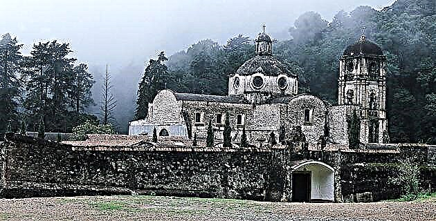
Towards the region of the Northern Mountains and the Gulf Coastal Plain, it is the world of stone and water, it is the area of the Chichón volcano and all its mysteries. In this little inhabited corner of Chiapas, is Simojovel, with its streaks of amber abundant in petrified insects. And towards the mountains cooled by the Gulf winds, there are many waterfalls and nice towns like Jitotol, Tapilula and Rayón. The winding road will take you to Pueblo Nuevo Solistahuacán where there are some deep chasms and a little further on, in the tiny town of Chapultenango a gigantic partially demolished Dominican temple.
At the end we leave the jungle region, an area of Lacandon villages and old Mayan cities that are still waiting to be discovered, an area of beautiful lagoons and unknown paradises that still have many stories to tell for nature lovers and tireless travelers who They know that in Chiapas, surprises and adventures never end.
Source: Unknown Mexico Guide No. 63 Chiapas / October 2000