At the moment it is not possible to detail the route followed by the Mayan merchants, as this requires much more research, both of the archaeological sites in the area and of the geomorphological and geographical conditions.
The different areas inhabited by the Mayans, however, traveling the waterways of their world with the type of boats that they surely used, allows us to approach in a more real way the difficulties they had to face, since it is clear that in the case of river routes, where the current is strong, the route used should not have been the same on the way out as on the way back.
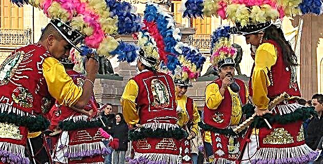
Communicated cities
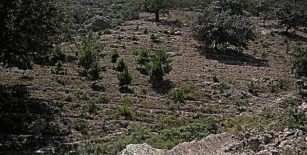
Most of the pre-Hispanic sites located in the Usumacinta basin, which includes part of Chiapas and Tabasco, reached their apogee in the late Classic (600 to 900 AD). Among them are those of the Lacandona region, Yaxchilán and Piedras Negras, all of them close to the river; and in direct association Palenque and Bonampak (either through tributaries or by reaching their territorial limits to it), to mention only the most prominent.
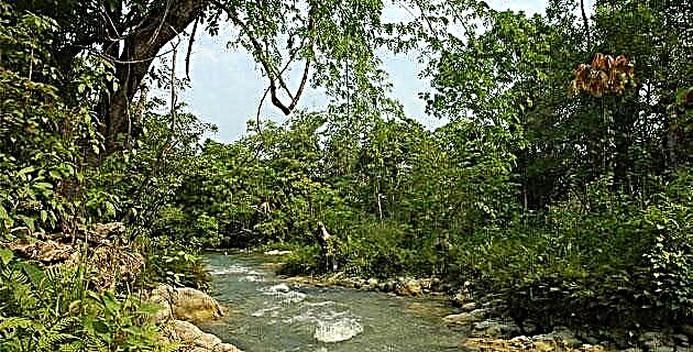
Thus, based on the navigation that we made in the middle portion of the Usumacinta, we can say that along the river there are beaches where it is relatively easy to dock and that were surely used by the Mayans, since the region was densely populated. and it was not limited to the places where the sites we visited of Lacantún, Planchón de las Figuras, Yaxchilán and Piedras Negras are located.
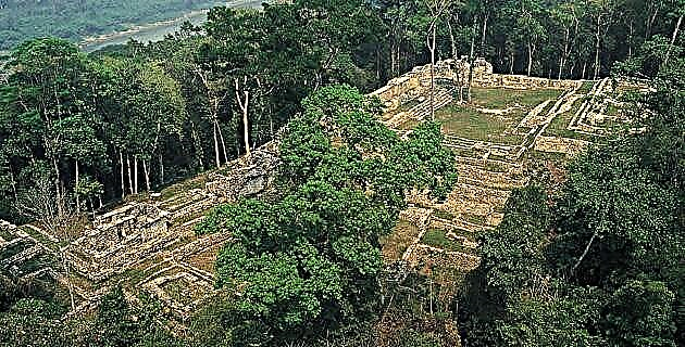
The sections of greatest difficulty are those where holes and rapids are formed, such as those existing at the entrance and exit of the San José Canyon, ahead of Piedras Negras, which by the way, is an extraordinary site, due to the amount of monuments that contain inscriptions and that when deciphered together with those found in the neighboring, but not friendly, site of Yaxchilán, to which are added those located in some other minor sites located in the vicinity of both, and therefore subordinate They have allowed them to know a good part of the history of both the sites and the region. Hence, the natural difficulties found in every river are joined by those of a political-social nature. Surely, Yaxchilán, given its location, should have controlled most of the Usumacinta route from Petén, while Piedras Negras, the entrance and exit of the Canyon, as well as the land route that prevented navigating the rapids, but for this , he must have had under his control the lands on both sides of the river.
Yaxchilán must have had good relations with the Lacandona sites, whose products could be transported to the point where the Planchón de las Figuras is located, on the banks of the Lacantún River and easily accessible from three waterways. However, it will be necessary to wait for the pertinent investigations to be carried out on the site to confirm its usefulness as a commercial exchange port, as well as to determine the territories controlled by the kingdoms of Yaxchilán and Piedras Negras.
With all this, it is very likely that the route was carried out in a combined land-water way, to avoid losing lives and goods when passing through the rapids; It is thus, that the rowers became porters as the sources indicate. On the other hand, I consider that the round trip route should not have been the same, since it is clear that it is not the same to row upstream as against it.